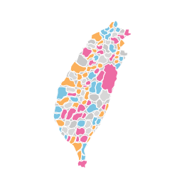
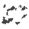
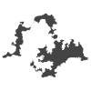
全國、各縣市與各鄉鎮的地圖,每張都有兩層行政區:全國是縣市與鄉鎮,縣市是鄉鎮與村里,鄉鎮是它的村里。 每張都附有範例資料(各區人口),可以直接換成你的資料。
Maps of the whole country, each county and each town, every one with two levels of divisions: counties and towns for the whole country, towns and villages for a county, and the villages of a town. Each comes with sample data ( population ) to replace with yours.
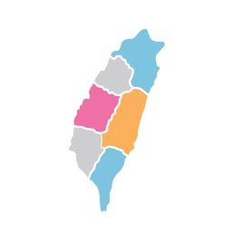
單一鄉鎮與它的村里。依縣市分開列,每排第一個是該縣市的地圖:One town and its villages, listed by county; each row starts with the county's map:
舊版的圖(@makechart/taiwan-map)。已經存過的圖照常可以開,新的圖請用上面的。The prior charts ( @makechart/taiwan-map ). Saved charts keep working; use the ones above for new charts.

Collaborative Data Visualization Service